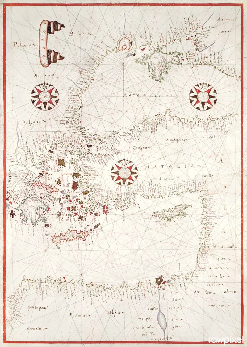
Lines Drawn in Ideology: How Cold War Cartography Warped American Students' Understanding of Eastern Europe
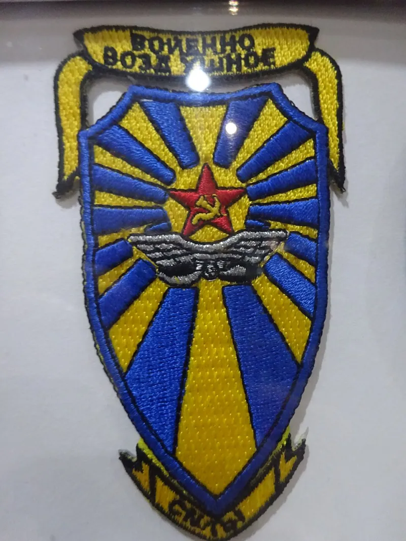
Photo: Vintage Fan 5678, CC0, via Wikimedia Commons
A map is never merely a map. It is an argument rendered in ink — a claim about which places matter, which borders are legitimate, and which peoples deserve to be named. This truth, long understood by geographers and historians, has particular resonance when applied to the classroom atlases that shaped how millions of American students came to understand Eastern Europe during the Cold War era. The distortions embedded in those documents were not always accidental, and their consequences have proven surprisingly durable.
The Atlas as Instrument of Policy
Between roughly 1950 and 1991, American educational publishers produced successive generations of world atlases and social studies textbooks that depicted Eastern Europe through a lens shaped as much by geopolitical anxiety as by geographic accuracy. Declassified materials from the CIA's cartographic division, now accessible through the National Archives, reveal that American intelligence agencies actively produced and circulated maps intended to emphasize Soviet territorial reach — sometimes exaggerating the physical dimensions of the USSR and its satellite states to underscore the threat they posed. Meanwhile, Soviet cartographers pursued their own systematic program of distortion, deliberately misrepresenting the coordinates of cities, the courses of rivers, and the locations of industrial infrastructure in maps intended for foreign consumption.
What is perhaps most striking to contemporary researchers is how thoroughly these competing visual narratives infiltrated the American classroom. Scholars at the University of Wisconsin's cartography program have spent recent years cataloguing Cold War-era educational maps held in university archives across the country. Their findings suggest that many standard American school atlases from the 1960s and 1970s reproduced errors — some subtle, some dramatic — that originated in politically motivated source materials.
The consequences extended well beyond misplaced rivers. When national boundaries are drawn imprecisely or labeled carelessly, entire ethnic and linguistic communities are effectively erased from the visual record. The Lemko region straddling present-day Poland and Ukraine, the historically contested territories of Subcarpathian Rus, and the complex borderlands of the former Austro-Hungarian Empire were routinely collapsed into undifferentiated blocs on American school maps, their internal complexity invisible to a student consulting a standard Rand McNally classroom atlas.
What the Textbook Archives Reveal
A systematic review of social studies textbooks published between 1955 and 1985 — conducted by researchers at Georgetown University and drawing on collections held at the Library of Congress — documents a consistent pattern. Eastern Europe appears in these volumes primarily as a buffer zone, a contested periphery defined by its relationship to Soviet power rather than by its own historical depth. Countries are labeled with their Soviet-aligned official designations, and in numerous cases, pre-war place names — names that carried enormous significance for diaspora communities in the United States — are omitted entirely.
The city now known as Lviv, for instance, appears in many American textbooks of the period under its Soviet designation, with no acknowledgment of its prior identities as Lwów or Lemberg, names that remained in active use among Polish and Austrian Jewish diaspora communities in cities like Chicago and New York. Similarly, the deliberate Soviet policy of renaming streets, towns, and even rivers after Communist figures was largely reproduced uncritically in American educational materials, inadvertently legitimizing an ideological project that the United States government publicly opposed.
Educators who taught during this period recall receiving little guidance on these complexities. "We used the maps that came with the curriculum," one retired social studies teacher from Ohio told researchers during an oral history project conducted by the Slavic and East European Library at the University of Illinois. "Nobody told us those maps had a point of view."
The Persistence of Distorted Mental Maps
The effects of Cold War cartographic education did not dissolve with the fall of the Berlin Wall. Cognitive mapping research — which examines the mental geographic models people carry throughout their lives — consistently shows that spatial knowledge acquired in childhood is among the most resistant to revision. Studies conducted by geographers at Penn State University in the early 2000s found that American adults who had completed their primary schooling before 1991 demonstrated significantly less accurate geographic knowledge of Eastern Europe than younger respondents, and were more likely to misidentify national capitals, misplace borders, and conflate distinct national identities.
This matters in practical terms. American journalists, policymakers, and business professionals who carry distorted mental maps of the region are more likely to misunderstand the political dynamics of a border dispute, less equipped to contextualize a refugee crisis, and less sensitive to the historical grievances that animate contemporary Eastern European politics. The cartographic failures of the Cold War classroom, in other words, have had measurable downstream consequences for American engagement with the region.
Digital Mapping and the Possibility of Correction
The advent of digital cartography has introduced new possibilities — and new complications. Platforms such as OpenStreetMap, which relies on community contributions, have enabled Eastern European scholars, local historians, and diaspora researchers to restore historical place names, document contested borders, and annotate maps with the kind of ethnic and linguistic detail that printed atlases systematically suppressed. The result is a richer, more contested, and ultimately more honest picture of the region's geography.
Several American universities have begun incorporating these digital tools into their Eastern European history curricula. At Indiana University, which houses one of the country's leading programs in Slavic and East European studies, instructors now routinely ask students to compare Cold War-era printed maps with contemporary digital alternatives, using the discrepancies as an entry point for broader discussions about how visual media shapes historical understanding. The pedagogical results, faculty report, have been striking: students who engage in this comparative exercise demonstrate markedly greater critical awareness of the constructed nature of all cartographic representations.
National Geographic, for its part, has undertaken a quiet but significant revision of its Eastern European coverage over the past decade, restoring historical place name variants and adding contextual annotations that acknowledge the contested status of certain borders. These changes have not been without controversy — any acknowledgment that maps carry ideological freight tends to provoke debate — but they represent a meaningful step toward the kind of cartographic literacy that scholars have long advocated.
Toward a More Honest Geography
The lesson that Cold War classroom cartography offers is not that maps are uniquely susceptible to manipulation, but that no representational medium is neutral. The lines drawn on a map of Eastern Europe in 1965 were lines drawn in ideology as much as in geography, and American students who learned their world from those maps absorbed a set of assumptions that many have never had reason to question.
For scholars of Slavic studies and Eastern European heritage, the recovery of cartographic accuracy is inseparable from the broader project of historical recovery — the effort to restore visibility to communities, cultures, and place names that were systematically marginalized during the Cold War decades. The map, understood properly, is not merely a tool for navigation. It is a form of historical testimony, and reading it critically is an act of genuine scholarly attention.